Google certainly benefits from a sort of hegemony in the field of mobile GPS mapping and navigation. Remember that in addition to Google Maps, the American giant has also owned Waze since 2013.
While Google Maps may prove to be the obvious default choice for many Android device users, it is important to remember that it is not without its flaws. This is due to the fact that other services sometimes offer more precise maps, which do not necessarily plunder geolocation data.
Let’s come back here to some quality alternatives, especially since there is no shortage of them. Offline accessibility, open source collaborative project or privacy protection: all of these options each have significant advantages when you want to make a transition to a less intrusive service.
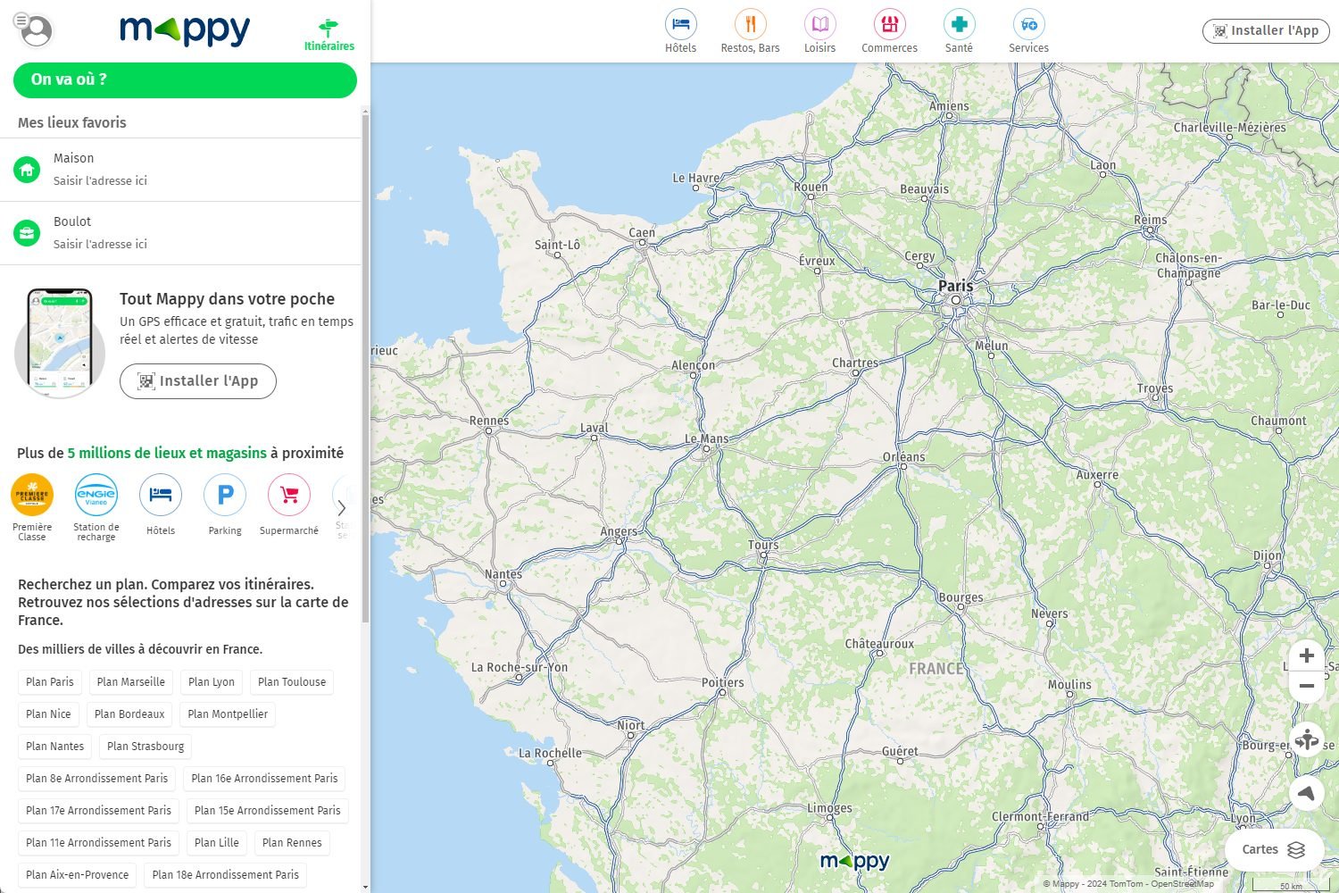
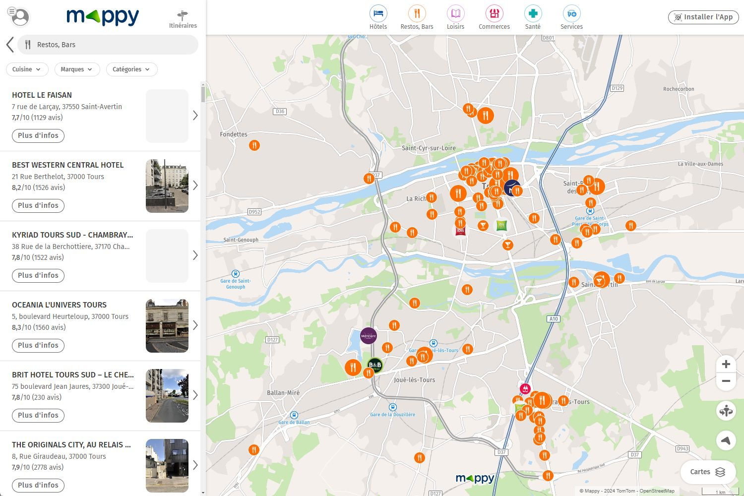
Mappy, the veteran
Mappy is one of the veterans in the field of cartography: it has existed since 1987! Although it did not have the same name at the time (it bore the name iTi and was used via the Minitel), the essentials were already there. But with the help of technology, Mappy still stands today as one of the most serious and precise options on the market geolocation.

The first advantage of Mappy is that it is a French service. It is obviously not the only one: for example, it takes into account all possible means of transport. Walking, two motorized or non-motorized wheels, buses, metros or trams, without obviously forgetting the car, the train or even the plane are all integrated into the research.
It is also possible to configure your route. For example, if you are looking to get to your destination quickly, or if on the contrary you prefer to save money (without tolls) at the expense of a certain speed, the choice is available. Mappy also offers remember certain journeys made regularly. In doing so, the user then receives notifications if one of their regular journeys encounters traffic problems.

Note that, despite all its qualities, Mappy is not free of advertisements. However, these are discreet enough not to hinder regular use. On the other hand, if its use is relatively precise in France, the application may seem less effective abroad.
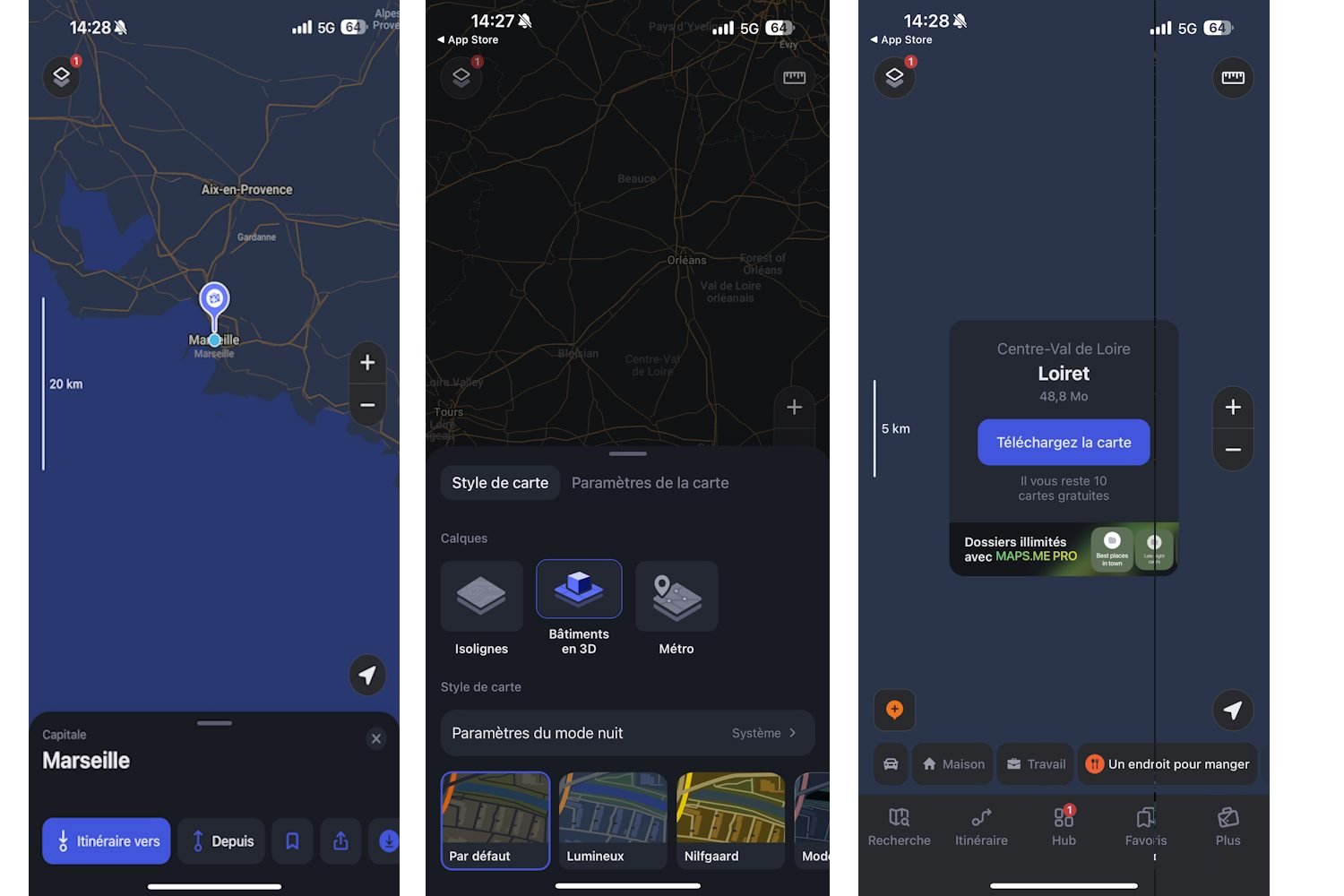
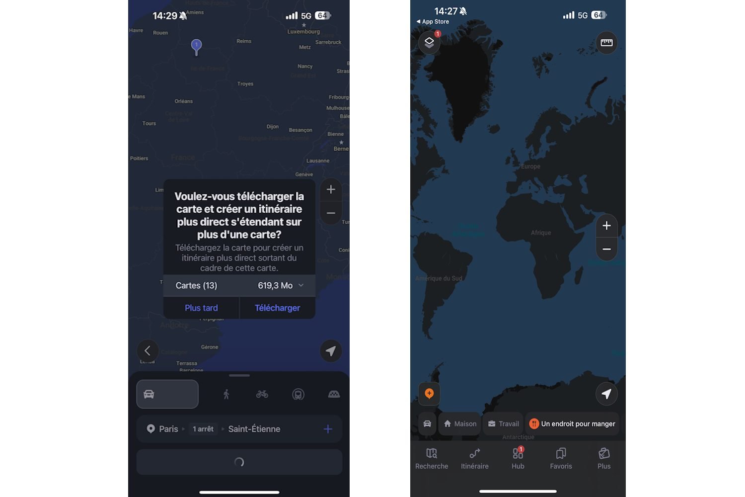
Maps.me, for adventurous travelers
Maps.me can be considered as the preferred mapping application for travelers who like to adventure. It is indeed an option that can be used offline, provided you have downloaded the maps locally on your device in order to generate routes without internet. In other words, it is a particularly practical tool abroad, or in areas poorly served by mobile data.

Another quality, which will be particularly appreciated for Sunday walks or for budding hikers: Maps.me offers various alternative routes of small paths and trails not necessarily covered by the network. Indeed, the application is based on the open source OpenStreetMaps cartography, regularly updated by users.

In other words, the information offered by this service is generally more precise and more practical for finding small trails or roads that are not necessarily marked. For the less adventurous, Maps.me also allows you to access the altitude level (ascent and descent) of a route, just to avoid it if it looks too strenuous.
Here WeGo, the service for city dwellers
Here WeGo is an alternative mainly focused on city travel. Thanks to its real-time monitoring of current traffic, it easily allows you to go from point A to point B quickly, without superfluous information like you can find on Google Maps for example.

Originally known as Nokia Maps & Here Maps, Here WeGo has evolved significantly since its beginnings, and today offers access to maps in more than 180 countries and 1,300 different cities. Note also that, like Maps.me, it is once again here possible to download the map of a city in advance to which we wish to go in order to have offline access.

Here WeGo also offers access to the location of many practical tourist services thanks to a partnership with third-party applications such as Expedia, BlaBlaCar or Trip Advisor. Thus, it is possible to consider Here WeGo as a kind of all-in-one particularly practical as part of a tourist trip in a foreign megalopolis, for example.
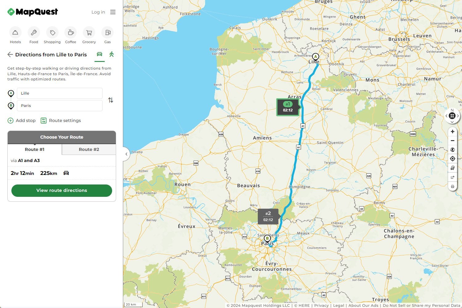
MapQuest, for public transport enthusiasts
Accessible both via web browser and Android/iOS application, MapQuest stands out from the competition by a very practical specialization for any regular user of public transport. The aim of the application is in fact to offer its users direct access to the best local transport service in relation to the chosen route.

If no route proposed by public transport suits you, MapQuest offers you two solutions. On the one hand, the possibility of ordering a taxi directly from the application. On the other hand, if you are not too far away, walk to your destination and tell you the number of calories burned during the journey.

Obviously, since MapQuest specializes in public transport, the service also offers direct access to real-time traffic conditions and automatic route change if the latter prove to be of little advantage. It is therefore the perfect application for any good city dweller, especially in the context of regular use.
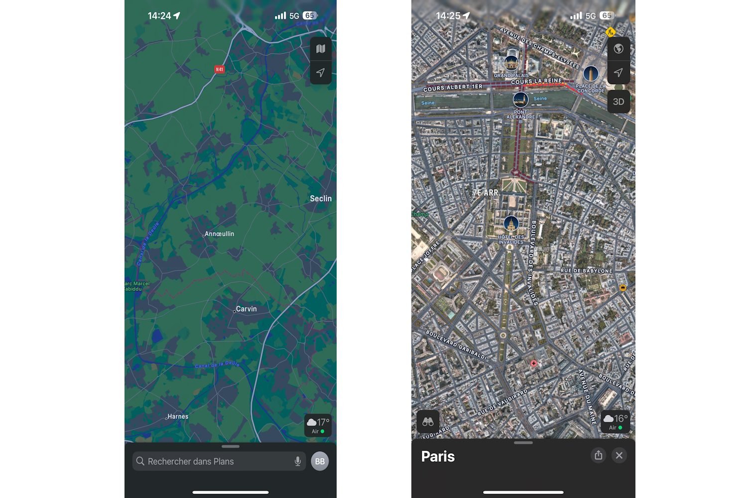
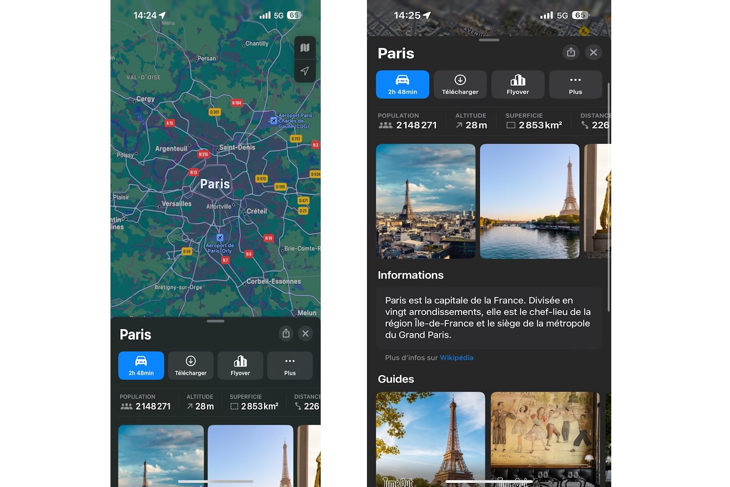
Apple Plans, the default iOS tool
Originally called Apple Maps, Apple Plans is today the preferred solution for iPhone owners, since it is the one offered by default on iOS operating systems. A lot of work has been done by the American giant in order to offer better precision in the data offered and in its cartography.

From now on, Apple Maps therefore offers many points of interest to discover on the route, such as restaurants, supermarkets or various cultural places. This is in no way original since it is one of the functionalities usually offered by services of this type, but a few years ago it was one of the main deficiencies of the application, today ‘now corrected.

Note also that Apple Plans uses an encryption system so as not to have access to routes and searches carried out by users. This makes it a particularly attractive service for those who place particular importance on data protection. (long sentence) And as a bonus, since the iOS 17 update, it is now possible to download a map to use it offline.
📍 To not miss any news from Presse-citron, follow us on Google News and WhatsApp.

Author Bio
A connoisseur of the digital marketplace and a master of the written word, this 30-year-old English expert brings to the table a wealth of knowledge rooted in the sale of digital products and a passion for blogging that resonates with an audience seeking expertise and insight in the online realm.
Their insights are drawn from hands-on experience navigating the intricacies of e-commerce and content creation—leading the forefront of digital innovation and communication. Whether it’s breaking down complex marketing strategies or sharing tips on how to captivate an online audience, their work stands as a testament to a career built upon successful digital engagement and savvy business acumen.
Stay tuned to absorb compelling content from a voice that not only understands the digital landscape but also shapes its future through every blog post and digital strategy.